Ask where freeriding happens in Switzerland and you get the same five names every time. That is not wrong, but it is not an analysis either. It is a memory of films.
We tried it differently. Freeriding needs one thing without exception, and our dataset holds it for all 87 areas: vertical drop. A descent off the piste is worth it from a certain length onwards, and length comes from vertical distance between the highest and lowest point.
The ranking
What is notable about this list is what it gets right and what it misses.
Got right: Engelberg, Verbier and LAAX all rank high, and all three genuinely are freeride hubs with their own infrastructure. LAAX runs a Freeride Base, Verbier hosts the Xtreme on the Bec des Rosses, and Engelberg has lived off its big descents for decades.
Missed: Andermatt and Davos do not appear in the top nine, yet both count as freeride addresses. In one case the valley floor sits high; in the other the area is split across several separate mountains. The vertical drop of an area is simply not the same as the longest continuous descent within it.
Where the figure misleads
This is the part we cannot leave out, because it undoes half the analysis above.
Vertical drop is not terrain. Between the highest and lowest point of an area anything may lie: a continuous north face, or three separate mountains with a bus link between them. Our dataset does not know the difference.
Vertical drop is not snow reliability. An area starting at 600 metres, like Meiringen-Hasliberg, has plenty of vertical on paper, but the lowest stretch is often green in January. For the raw figure it counts all the same.
Vertical drop says nothing about access. Whether you can reach that terrain without an hour of climbing appears in no elevation figure.
And the most important point: it says precisely nothing about safety. A large drop means more steep terrain, and more steep terrain means more avalanche terrain. The figures above are a list of where freeriding is possible, and in equal measure a list of where it is dangerous.
What makes an area a freeride area
Beyond the vertical there are things that cannot be reduced to a number but make the practical difference.
Infrastructure for freeriders. Some areas run a dedicated base with conditions information, guided outings and equipment. LAAX is the best-known Swiss example.
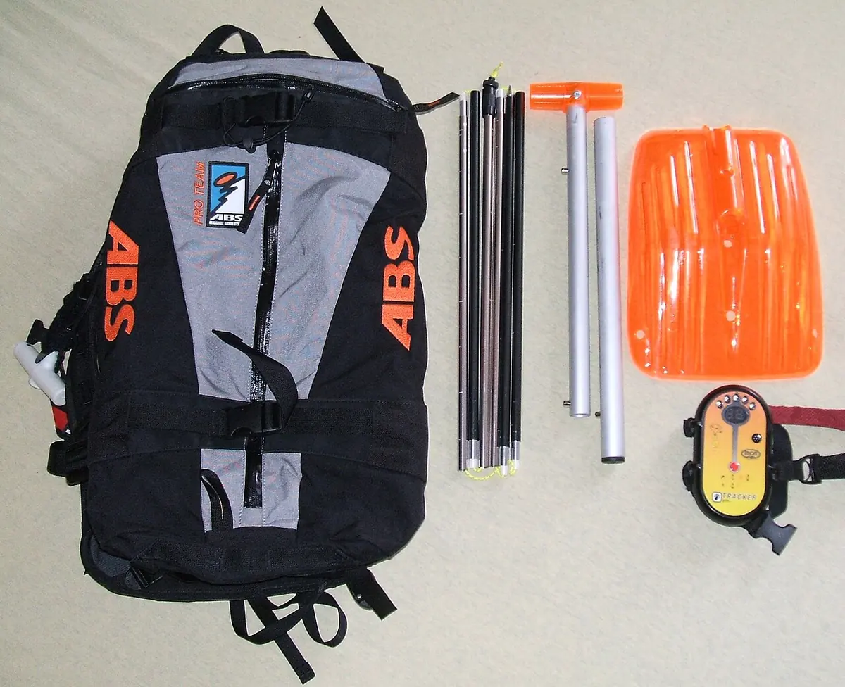
A transceiver practice facility. Over twenty Swiss areas have one, usually free with a lift pass; the full list is in our overview of avalanche training centres. Six of the nine areas in the ranking above have one.
Honest communication about conditions. Areas that mark, check and, in case of doubt, close their off-piste routes differ substantially from those that say nothing at all. It is hard to measure from outside and, in case of doubt, more important than any elevation figure.
The sentence that belongs with this subject
Freeride terrain is by definition unsecured terrain. It is not checked, not blasted and not groomed, and what applies there is the avalanche bulletin, not the piste rules.
The statistics are unambiguous: around half of all avalanche deaths occur at danger level 3, that is, on a day the bulletin calls “considerable” and on which the areas are open and the sun is out. The figures are in our piece on the five avalanche danger levels.
An area with 2,000 vertical metres is not a better freeride area if you cannot assess the terrain. It is merely a larger one.
Sources and caveats
- Elevation data: our own dataset for 87 areas, values as given by the areas. Vertical drop is the difference between the highest and lowest point of the area, not the longest continuous descent. Median across all 87 areas: 1,085 metres.
- Several areas in the list comprise linked ski regions across multiple mountains. The vertical drop refers to the area as a whole.
- We deliberately do not rank individual freeride descents. Naming and rating individual lines would mean recommending terrain we cannot assess and whose conditions change daily. That is a matter for the areas, mountain guides and the avalanche bulletin.
- The notes on individual areas’ freeride infrastructure rest on publicly available presentations by those areas and were not systematically surveyed.
This piece analyses elevation data. It is not a terrain recommendation and not training. Anyone skiing off-piste needs an avalanche course with the SLF or the SAC and, in case of doubt, a mountain guide.