A 14-day weather outlook is a delicate thing, and we will say why straight away: the second week is not a forecast. It is a range. We show both – first what holds up, then what is only a trend, and finally the calculation that makes the difference visible.
All figures as of: model run of 4 August 2026.
The one number that counts
What decides summer ski operations is not the daytime maximum but the freezing level: the altitude above which it freezes at all. Only below that line can the snowpack refreeze overnight, and only a refrozen surface can be safely groomed. Its absence is exactly what forced Zermatt Bergbahnen to halt operations.
The result for the coming week at the Theodul glacier grid point, calculated for 3,500 metres:
| Date | Freezing level (daily mean) | Lowest value | Weather |
|---|---|---|---|
| Tue 4 Aug | 4,160 m | 4,050 m | showers, local thunderstorms |
| Wed 5 Aug | 4,260 m | 4,160 m | wet, heavy showers |
| Thu 6 Aug | 4,220 m | 4,090 m | showers, easing |
| Fri 7 Aug | 4,140 m | 3,950 m | dry, cloud patches |
| Sat 8 Aug | 4,330 m | 4,210 m | mostly dry, mild |
| Sun 9 Aug | 4,180 m | 4,000 m | showers |
| Mon 10 Aug | 4,050 m | 4,010 m | dry |
The lowest moment of the entire week comes in the night before Friday, at around 3,950 metres. For scale: the highest point at which anyone skis anywhere in the Alps is the Gobba di Rollin above Zermatt, at 3,899 metres.
In plain terms: there is not a single moment in the next seven days when any ski piste in the Alps lies below the freezing level. Not in Zermatt, not in Saas-Fee, not at the Stelvio Pass. Nowhere does it freeze where people ski.
And the precipitation of the coming days falls accordingly as rain, up to above 4,000 metres. The model shows fresh snow on not one day of the entire 16-day run. Rain on firn is not neutral either, but the worst case of all: it carries heat directly into the snowpack and accelerates melt more than sunshine does at the same temperature.
Days 8 to 10: still usable as a trend
From 11 to 13 August the models show a ridge of high pressure: drier, calmer, and the freezing level rising further, peaking towards 4,500 to 4,700 metres. That is not a turn for the better, it is the opposite.
From 14 August the majority of runs hint at moister air returning. Whether that becomes a genuine cold outbreak is, at this point, open – and very open indeed.
Days 11 to 15: why this is no longer a forecast
Rather than simply assert that, we calculated it. The European weather model runs every forecast 51 times, with minimally different starting conditions. If all 51 runs say the same thing, the forecast is solid. If they diverge, it is not.
This chart shows how far apart the 51 runs sit for the temperature at 850 hectopascals over Valais – the standard measure for the air mass above the Alps:
Up to day 5 the spread is about two degrees: that is a forecast. From day 13 it is seven to ten degrees. Anyone still turning that into a dated weather symbol is inventing it. The mean of all 51 runs does stay at just under 16 to 18 degrees at 850 hPa across the whole fortnight – so, warm – but by the end the scatter is so wide that this mean says nothing about any individual day.
None of this is a flaw in the models, incidentally, but a physical limit. Why that is, and what it has to do with the difference between weather and climate, is set out in our explainer on the subject.
What it means for the three areas
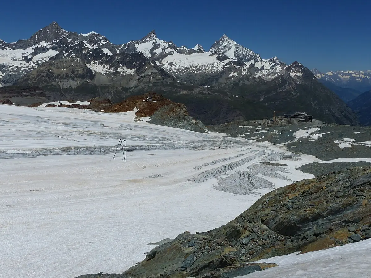
Zermatt. The lift company reassesses the situation daily and is waiting for night frost on the Theodul glacier. The coming seven days will not deliver it. On current data, a resumption of summer skiing before mid-August is very unlikely.
Saas-Fee. Superseded: on 6 August Saastal Bergbahnen suspended summer skiing, with 9 August as the last day (report). The original text read: operating, mornings until 12 noon, and that short window is precisely why it still works in this weather pattern.
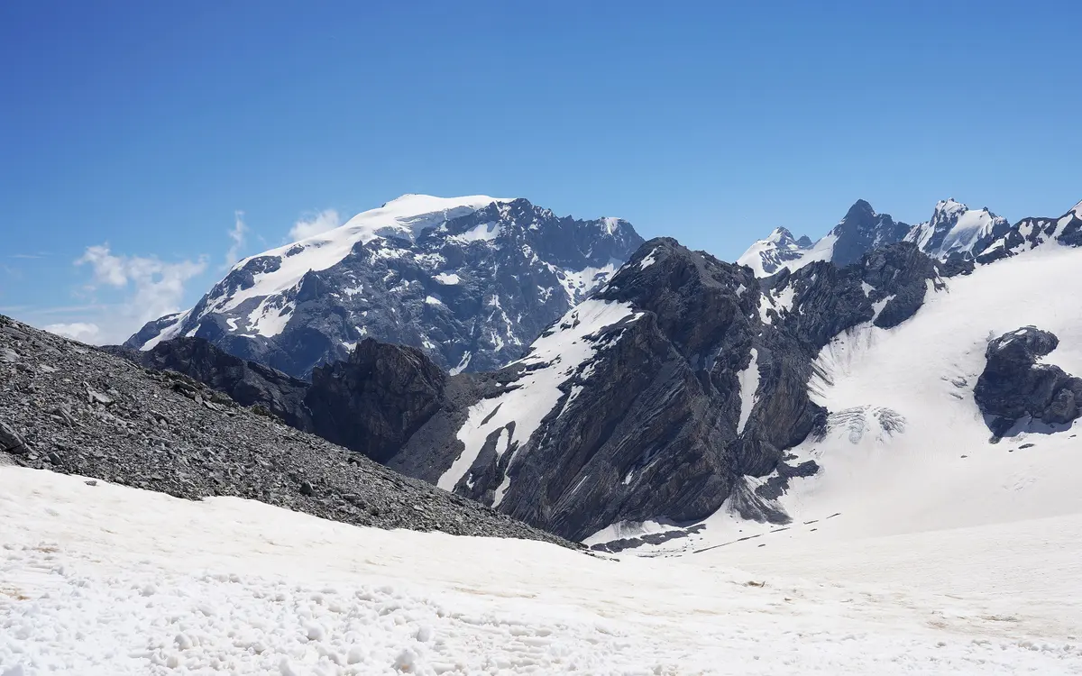
Stelvio Pass. Also operating. For Thursday and Friday the models show the heaviest precipitation of the week over the Ortler group, partly as thunderstorms.
The same applies to all three: this fortnight brings no recovery for the snowpack, only further loss. The summer of 2026 keeps working against the glaciers, and the glacier loss day fell on 29 June this year.
How we calculated this
All figures come from the freely available model data at Open-Meteo, which aggregates the runs of the national weather services. For the freezing level we took the hourly value at grid point 45.94° N / 7.72° E and formed a daily mean and minimum. For the uncertainty we pulled the ECMWF ensemble with its 51 members and calculated, for each forecast day, the spread between the coldest and the warmest member.
We are publishing this outlook as a dated snapshot, not as a continuously updated forecast. It describes the model state of 4 August 2026. From about 11 August it is out of date – for the current situation, consult the weather services, not this article.
As of 4 August 2026. Weather data: Open-Meteo (ICON, ECMWF IFS and the ECMWF ensemble). Operating information: Zermatt Bergbahnen, Saastal Bergbahnen, S.I.F.A.S. Elevation of the Gobba di Rollin after Zermatt Bergbahnen.
Update, 20 August 2026: this outlook has been overtaken. The freezing level has fallen sharply since, and the statement above no longer holds. The new situation is in Zermatt gets frost but almost no snow.