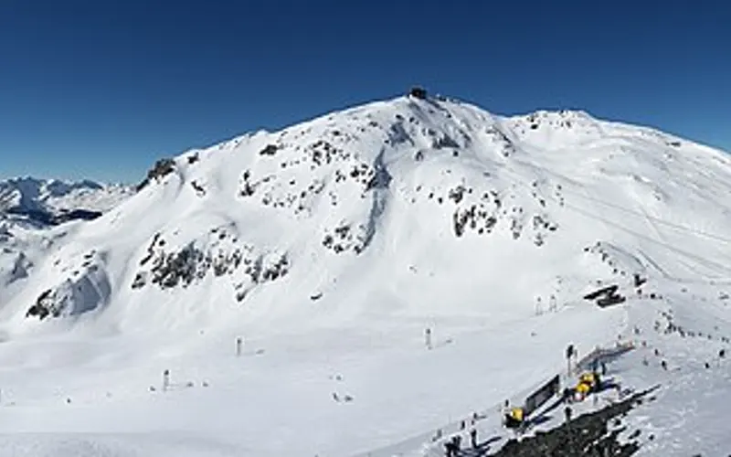
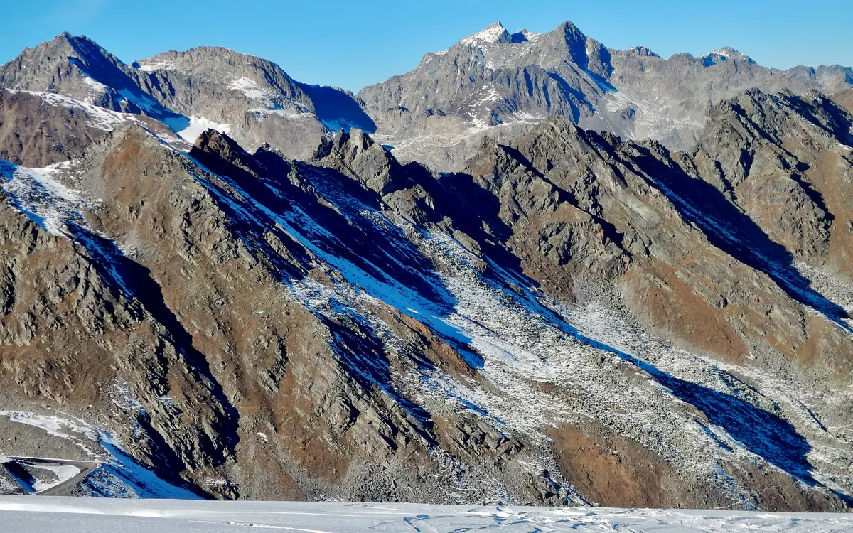
The first big snow of this winter is on its way, and it mainly hits Valais. From Monday 16 November to Saturday a westerly flow brings precipitation into the western Alps day after day. The official MeteoSwiss point forecast expects around 100 millimetres at the Great St Bernard, the same at the Jungfraujoch, and 85 in Montana. Above roughly 1800 metres most of it falls as snow. SRF Meteo expects 40 to 70 centimetres there, locally up to one and a half metres in Lower Valais. Social media is circulating “one to two metres”; none of the forecasts we found mentions two metres.
The status is Monday 16 November 2026, evening. The precipitation figures come from MeteoSwiss, the snow depths from the SLF measuring network, the fresh snow amounts from the forecasts of SRF Meteo and MeteoNews.
How much precipitation the official forecast expects
The MeteoSwiss point forecast (run of 16 November, 5 pm UTC) gives the daily precipitation total for each place. Summed from Monday to Sunday, the picture is clear: most falls in the west and at the passes, least in Graubünden and Ticino.
Chart figures as a table, per day
| Station | Mon 16 | Tue 17 | Wed 18 | Thu 19 | Fri 20 | Sat 21 | Sun 22 | Total |
|---|---|---|---|---|---|---|---|---|
| Jungfraujoch (3571 m) | 9.3 | 16.4 | 17.5 | 23.3 | 25.4 | 4.7 | 5.7 | 102.3 mm |
| Great St Bernard (2472 m) | 10.5 | 16.9 | 22.5 | 25.1 | 18.7 | 1.6 | 4.1 | 99.4 mm |
| Montana (1427 m) | 9.7 | 13.8 | 18.3 | 18.9 | 20.1 | 2.1 | 1.6 | 84.5 mm |
| Visp (640 m) | 4.0 | 11.8 | 15.4 | 16.0 | 16.3 | 1.6 | 0.7 | 65.8 mm |
| Evolène (1825 m) | 6.3 | 10.7 | 11.6 | 15.9 | 14.1 | 1.6 | 2.1 | 62.3 mm |
| Grimsel Hospiz (1980 m) | 3.6 | 9.2 | 12.1 | 12.1 | 13.9 | 2.7 | 2.2 | 55.8 mm |
| Ulrichen (1345 m) | 5.3 | 9.6 | 6.6 | 8.8 | 8.7 | 1.3 | 1.5 | 41.8 mm |
| Zermatt (1638 m) | 1.7 | 7.9 | 8.2 | 7.5 | 5.6 | 0.2 | 0.7 | 31.8 mm |
| Andermatt (1442 m) | 0.8 | 8.4 | 6.8 | 5.1 | 6.2 | 2.4 | 0.9 | 30.6 mm |
| Davos (1594 m) | 0.3 | 3.1 | 4.0 | 2.9 | 4.6 | 1.5 | 0.2 | 16.6 mm |
| Piz Corvatsch (3302 m) | 0.3 | 2.0 | 0.7 | 2.4 | 0.3 | 0.1 | 0.2 | 6.0 mm |
Why Valais in particular: the wind comes from the west and south-west. The moist air piles up against the first high mountains it meets, the Alps between Mont Blanc, the Great St Bernard and the Bernese Oberland. By the time it reaches Graubünden, it has dropped most of its load. That is why, according to this forecast, Davos gets a sixth of what falls at the Great St Bernard, and the Corvatsch almost nothing.
How much of it becomes snow
The snow line is decisive, and it fluctuates a lot. On Tuesday the freezing level in the MeteoSwiss forecast rises to just over 3000 metres (Zermatt 3069, Andermatt 3083 metres), so on that day it rains far up the mountains. From Wednesday it falls; on Friday it is around 1300 metres in Davos, and on Saturday morning, according to SRF Meteo, near 1000 metres.
The weather services calculate the snow themselves:
- SRF Meteo (article of 13 November, updated on the 14th): “Oberhalb von rund 1800 m werden vor allem in den Walliser Bergen und Westschweizer Alpen grosse Schneemengen erwartet” (above around 1800 m large amounts of snow are expected, above all in the Valais mountains and the western Swiss Alps), 40 to 70 centimetres, “im Unterwallis bis 1.5 m Neuschnee” (up to 1.5 m of fresh snow in Lower Valais), until Saturday.
- MeteoNews (16 November): above just under 2000 metres “vor allem in den Westalpen viel Neuschnee, es liegt über 1 Meter drin” (a lot of fresh snow, above all in the western Alps; more than 1 metre is possible). Below around 1500 metres “nur wenig Schnee” (only a little snow), below about 1000 metres “wohl überhaupt keiner” (probably none at all).
A rough cross-check with the official forecast: at temperatures just below zero, one millimetre of precipitation makes about one centimetre of fresh snow, less with wet snow, more in the cold. The 100 millimetres at the Great St Bernard therefore correspond roughly to one metre, spread over five days. That fits the figures from SRF Meteo and MeteoNews. It is a rule of thumb and our own calculation, not a measurement.
How much snow is already lying
The week starts from a low level. In its avalanche bulletin of 16 November the SLF writes: “Die Schneehöhen sind für die Jahreszeit unterdurchschnittlich” (snow depths are below average for the time of year), in parts of Switzerland “stark unterdurchschnittlich” (well below average). The automatic stations in the Valais ski areas showed on Monday evening:
| Resort | SLF station | Altitude | Snow depth 16 Nov, 5.30 pm |
|---|---|---|---|
| Lauchernalp | Gandegg | 2710 m | 63 cm |
| Verbier | Lac des Vaux | 2550 m | 51 cm |
| Crans-Montana | Donin du Jour | 2385 m | 51 cm |
| Les Marécottes | L’Ecreuleuse | 2252 m | 50 cm |
| Grimentz-Zinal | Orzival | 2640 m | 44 cm |
| Leukerbad | Trubelboden | 2459 m | 36 cm |
| Saas-Grund | Mälliga | 2952 m | 35 cm |
| Arolla | Les Fontanesses | 2847 m | 34 cm |
| Zermatt | Triftchumme | 2752 m | 23 cm |
| Saas-Fee | Gibidum | 2680 m | 23 cm |
The stations stand on terrain knolls, not on the pistes, and do not measure machine-made snow. The current values, updated hourly, are in the snow report.
Avalanche danger: context, not training
Fresh snow on a thin, old snowpack is a tricky combination. On 17 November the SLF rates the danger at level 3 (considerable) in 26 regions, mainly in Valais and the Bernese Oberland, and writes for many of them: “Die Gefahr von trockenen Lawinen steigt an. Schon einzelne Wintersportler können Lawinen auslösen, auch in tieferen Schichten.” (The danger of dry avalanches is increasing. Even individual winter sports enthusiasts can trigger avalanches, including in deeper layers.) With every day of fresh snow the situation is likely to become more tense.
This concerns ski touring and off-piste, not the secured pistes. What the levels mean is explained in our article on the five avalanche danger levels. We put things in context, we do not train: the daily bulletin is on slf.ch, and courses are offered by the SLF and the Swiss Alpine Club (SAC).
What this means for the season starts
For the resorts starting on 21 November (Corvatsch, Tignes, Arolla, Chäserrugg, Wildhaus, Mürren daily), the snow comes at the right time, at least in the west. The Corvatsch, however, is on the dry side and still depends on snowmaking. In storms and high avalanche danger, lifts can also stay closed at short notice; the lift company’s own page is binding. Which resorts run at the weekend is on the weekend page, calculated on the day of your visit.
Two caveats belong here. Six days of lead time is a lot: the amounts from Thursday can halve or double, and the snow line can shift by several hundred metres. And fresh snow settles: one and a half metres of fresh snow become considerably less after a few days. We will measure again once the snow has fallen.
Read on: Snow report · Skiing this weekend · Weekend of 14/15 November · Winter forecast
Sources
- Precipitation and freezing level: MeteoSwiss, local point forecast
(ogd-local-forecasting), run of 16 November 2026, 5 pm UTC. Own sum of the
daily values. Recalculate with
scripts/punktprognose.mjs; a new call returns today’s state. - Fresh snow amounts: SRF Meteo, “Westwindlage bringt Schnee: Wie viel Schnee gibt es nächste Woche?”, 13 November 2026, updated 14 November, retrieved 16 November 2026. MeteoNews, “Im Norden regenreiche und windige Woche”, 16 November 2026, retrieved 16 November 2026.
- Snow depths: SLF, IMIS measuring network, values of 16 November 2026,
4.30 pm UTC, via our function
/api/schnee. - Avalanche danger: SLF, avalanche bulletin of 16 November 2026, 5 pm, valid until 17 November, 5 pm (CAAML interface aws.slf.ch).
- Rule of thumb precipitation to fresh snow: own calculation, about 1 cm of fresh snow per millimetre at temperatures just below zero; considerably more or less depending on temperature and wind.
- What is missing: We could not retrieve an official MeteoSwiss severe weather warning on 16 November; current warnings are in the MeteoSwiss app.