While summer skiing in the Alps stands still because of the heat, a storm on the other side of the world has hit the Andes with a force the range has not seen in decades. Between 15 and 23 July 2026, roughly five metres of snow fell at the Chilean ski area of Portillo – about as much as it normally receives in an entire season.
Read only the snow figures and you get the wrong picture. The same weather system cost lives further down the valley.
What happened
The event was driven by an atmospheric river, a narrow band of very moist air that pushed moisture from the Pacific against the Andes from 15 July onwards for weeks. At altitude it fell as snow; at middle and low elevations as exceptionally heavy rain.
The toll drawn by Chilean authorities and media at the end of July:
- 13 deaths, with four people still missing
- more than 100,000 people temporarily cut off from the outside world
- over 1,100 homes destroyed or badly damaged, around 2,200 further buildings damaged
- parts of the capital Santiago received close to half their average annual precipitation in a few days
- the government declared a state of emergency for several regions
The Cristo Redentor border pass between Santiago and Mendoza stayed shut for days; around 100 lorries were stranded on the Argentine side. Almost 100 people were evacuated from mountain settlements such as Polvaredas, Los Penitentes and Puente del Inca.
What it did to the ski areas
One figure sums the event up: in a little over a week, Portillo received nearly as much snow as it normally gets in a whole winter.
Portillo closed voluntarily in the middle of its best winter. The access roads were shut, and for days nobody came or went. The resort reported around five metres of fresh snow for 15 to 23 July and reached a season total of just over six metres by the end of the month. The Plateau run was left with 270 cm, the hotel area with 229 cm.
Further south things ran more smoothly:
- Valle Nevado reported around 157 cm in one week and had all 13 lifts and 44 of 45 runs open at the end of July.
- Corralco measured 205 cm at the summit and 115 cm at the base.
- Nevados de Chillán started main operations on 18 July and added night skiing at the end of the month.
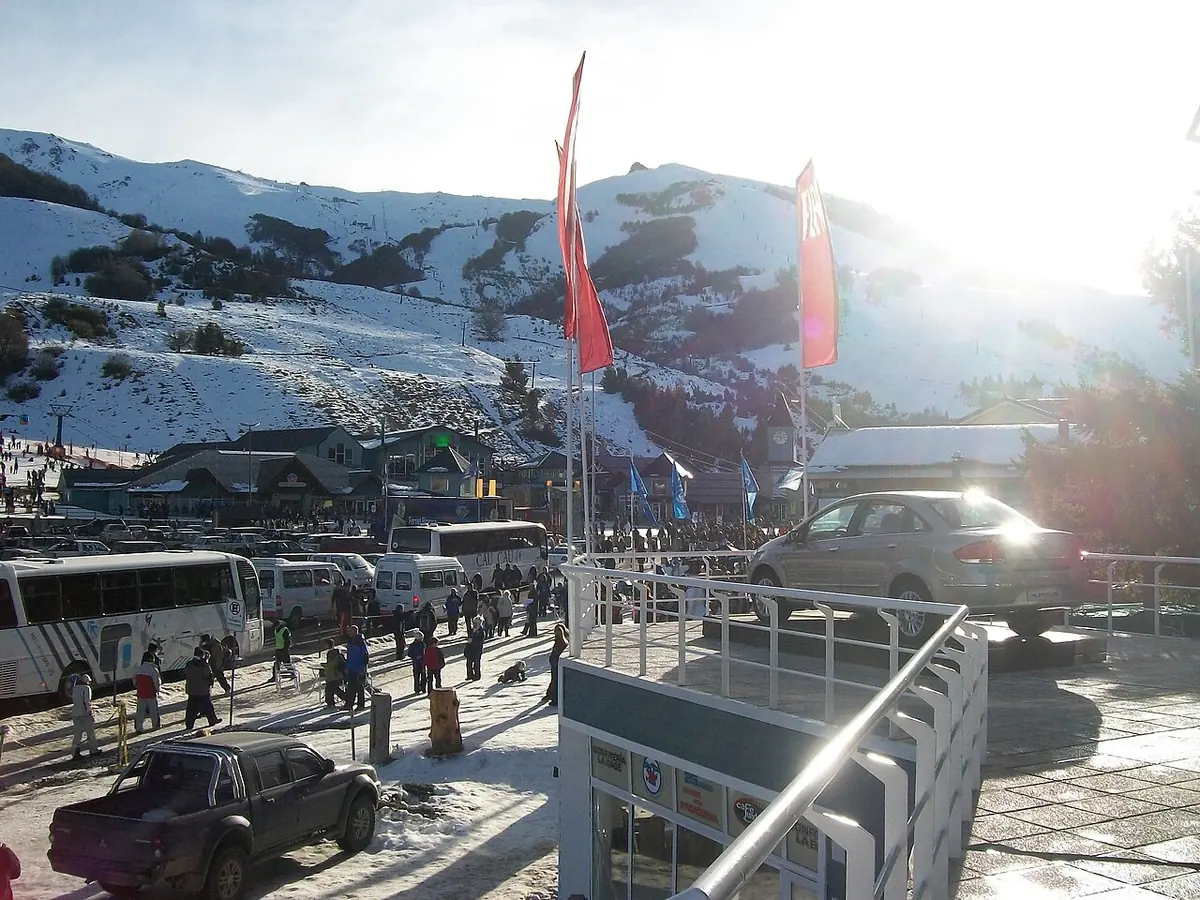
The Argentine side saw considerably less, but enough for a solid winter. Las Leñas reported 80 cm at the base, 1.20 m mid-mountain and 2.30 m at the summit at the end of July, and opened additional terrain via the Caris chairlift. Cerro Catedral near Bariloche received 30 to 40 cm in its upper sectors, and Cerro Bayo opened its mid and upper mountain, with chains required on the access road.
Why heavy snow and disaster belong together
That sounds contradictory, but it is not. The decisive factor is the snow line. An atmospheric river carries enormous amounts of water along with comparatively mild air. Above roughly 2,500 metres that falls as snow and piles up to record depths. Below it, the same water falls as rain – onto slopes that already carry an older snowpack.
Rain on snow is the worst combination there is: the water does not just run off, it melts additional snow out of the pack. Runoff spikes, slopes become unstable, debris flows start moving. That is exactly the pattern that hit the valleys while the records were tumbling above.
Putting it in context
By sheer volume this was probably the largest storm cycle the region has seen in over half a century. Whether it can be attributed to the climate is a different question: individual extreme events are not a climate trend, and a snow-rich winter refutes warming just as little as a hot Alpine summer proves it on its own. What is well established: warmer air can carry more water vapour, which is why precipitation extremes become more intense in both directions. More on this in our explainer Weather or climate.
A second factor is in play for the months ahead: the US weather agency NOAA has had an El Niño advisory in force since June 2026. What that means for the Alpine winter is set out in El Niño and the 2026/27 winter.
Sources: Ski Portillo and Valle Nevado (snow reports), The Ski Guru (Andes situation report, 30 July 2026), SnowBrains (assessment of the Chilean storm, 24 July 2026), snow-forecast.com (storm totals). Casualty and damage figures reflect the situation at the end of July 2026 and may be revised.