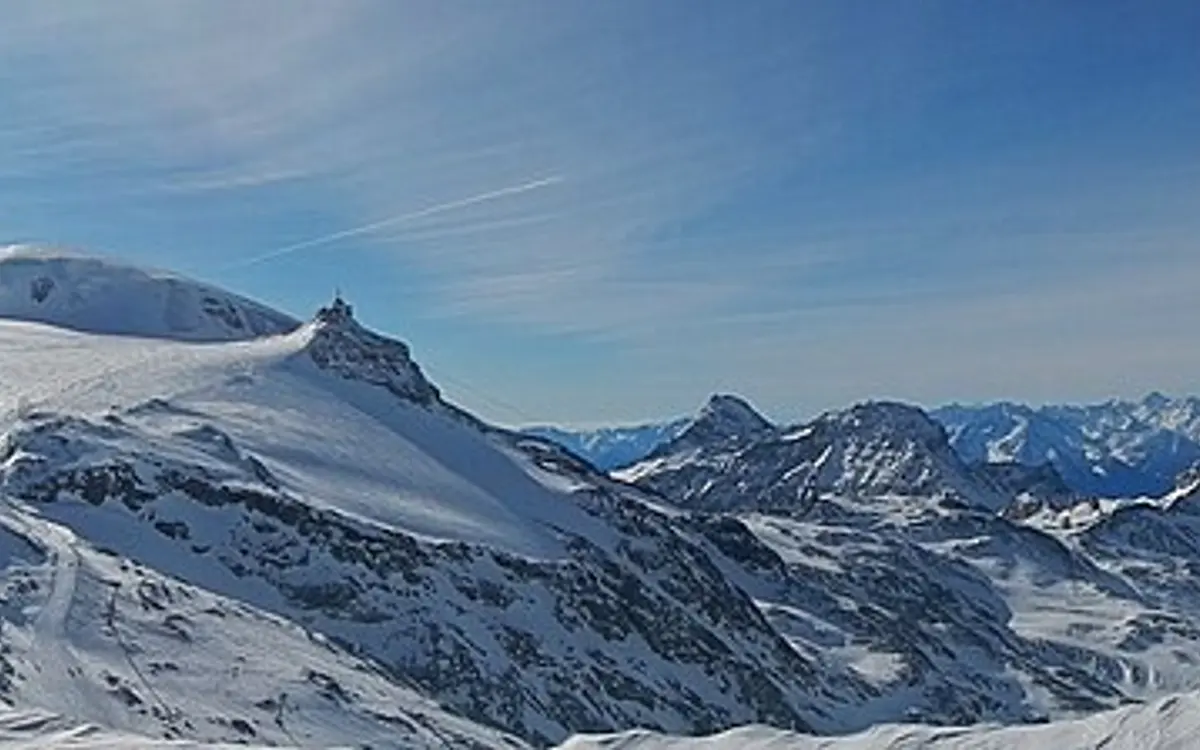
Breuil-Cervinia / Valtournenche
… 🧊 Glacier area
Photo: qwesy qwesy · CC BY 3.0 · Wikimedia Commons

Breuil-Cervinia / Valtournenche lies in the Aosta region and is one of the larger Swiss ski areas: 150 kilometres of piste served by 23 lifts.
The area runs from 2050 to 3480 metres above sea level, giving around 1,430 metres of vertical. That takes the terrain above the 3,000-metre mark, which markedly improves snow reliability on the upper slopes.
The ski terrain reaches up to a glacier, and the season runs Oct – May. There is no summer skiing here any more, but the state of the glacier remains a live issue.
An adult day pass costs EUR 64.
Of note: The Italian side of the Theodul and Plateau Rosà glaciers, linked to Zermatt. The figures exclude the Swiss side; with Zermatt the day pass costs 88 euros.
Piste map, map & webcams
Interactive piste map
Every piste and lift colour-coded by difficulty, zoomable, built on OpenStreetMap. Community-maintained data; where it differs, the official piste map next to it is authoritative.
Open on OpenSkiMap →Official piste map
The lift company’s drawn piste map, plus lift status and tickets.
cervinia.it →Webcams
Live images from the mountain on the resort’s official site, usually several locations.
View webcams →Piste maps and webcam images belong to the lift companies and are protected by copyright. That is why we link directly to the original instead of copying it.
Frequently asked about Breuil-Cervinia / Valtournenche
How high is Breuil-Cervinia / Valtournenche?
The ski area runs from 2,050 to 3,480 metres above sea level, a vertical range of 1,430 metres. For snow reliability the lower figure matters more: that is where the snow disappears first, and where a mild December is felt before it is felt at the top.
How many kilometres of piste does Breuil-Cervinia / Valtournenche have?
150 kilometres on 23 lifts, according to the operator. There is no binding standard for measuring piste kilometres, so the figure is comparable between resorts only to a point. The lift count says at least as much about how big a place feels.
What does a day pass at Breuil-Cervinia / Valtournenche cost?
EUR 64 for an adult day pass at the standard rate, as of summer 2026. Booked early it is often less; on a peak Saturday it is not.
When does Breuil-Cervinia / Valtournenche open?
The usual season window is Oct – May. For winter 2026/27 the resort has announced 24 October 2026 as its starting date (Plateau Rosà). Every announced date depends on enough snow and cold.
Does Breuil-Cervinia / Valtournenche have a glacier?
Yes. Glacier terrain makes the early season more reliable, because the snow layer is supported from below by ice. The summers since 2022 have shown that this is no longer a guarantee either: several Alpine glacier areas have given up summer skiing altogether.
Where this resort stands
Nearby ski areas
Distances are straight-line, not driving time. In the Alps a ridge between two valleys can turn 12 km into a two-hour drive.
Key figures
- Region
- Aosta Valley
- Season
- Oct – May
- Kilometres of piste
- 150 km
- Elevation
- 2050 to 3480 m (1,430 m of vertical)
- Lifts
- 23
- Adult day pass
- around EUR 64 (guide value)
- Summer skiing
- no
- Glacier
- yes
- Snow park
- no park
- Coordinates
- 45.935, 7.630
- Official website
- cervinia.it
All values are guide figures still being verified. For day-to-day information, use the resort’s official website.